


In recent years, researchers have paid increasing attention to the relationship between urban development and the ‘heat island’ – literal hot spots in cities that are growing in reach and scale and are intensified by a global climate crisis. Luisa Amann, Sustainability Designer at Foster + Partners, explores how urban development has altered heat distribution, often burdening the most marginalised members of a city population. Understanding heat as a design as well as environmental issue, Amann considers how Foster + Partners promote urban cooling in their projects, with reference to work that is currently on view at the Venice Biennale.
15th May 2025
Urban Heat Islands and Climate Vulnerability
In 2024, for the first time on record, average global temperatures clearly exceeded 1.5˚C above pre-industrial levels. This overshoots a key threshold established by the Paris Agreement, a treaty in which 195 nations pledged to tackle climate change, that called for the immediate and rapid reduction of emissions by forty-three percent.
Climate change acts as a threat multiplier, exacerbating existing inequalities across regions, communities, and demographics. One of the most significant challenges that climate change poses is that of extreme heat, which will become more frequent and intense as these thresholds are exceeded.
For practitioners of the built environment, extreme heat presents a rapidly growing problem. Sixty percent of the global population is projected to live in cities by 2050, reflected in the ongoing expansion and sprawl of urban development worldwide. These developments introduce buildings, road, pavements, and infrastructure that absorb heat to a greater degree than natural surfaces (such as vegetation and water). As a result, cities feel and measure as hotter than nearby rural regions – a phenomenon known as the ‘urban heat island’ (UHI). Without thoughtful intervention, the frequency and intensity of UHIs will multiply and compound in cities, placing a disproportionate heat burden on their populations, and potentially making them uninhabitable.
Heat burden – or heat stress – is the physiological and psychological effect that heat has on the body. This is a burden that will be exacerbated as extreme heat events intensify; it is also a burden that is not experienced equally among populations. Physical differences between people can lead to different experiences of the ‘same’ heat. Varying experiences of heat are also the result of where people are in a city, how they move around it and when, as well as their access to cool spaces. Considered together, research has shown that extreme heat tends to trigger more adverse effects on vulnerable and marginalised populations – an insight that is termed ‘thermal inequality.’ This makes extreme heat a sociopolitical, architectural and urban planning problem as well as an environmental one.
The relationship between UHIs, climate change, urban planning, and social inequality forms the basis of inquiry in the German Pavilion at the 2025 Venice Biennale. The following article presents some of the research that is displayed at the pavilion, including a Space Syntax study of the effects of UHIs on pedestrian mobility in London, alongside additional research and projects by Foster + Partners that consider the problem of UHIs at a landscape and design level. Through understanding the challenges posed by urban heat, its emergence as a socio-spatial phenomenon linked with the development of the modern city, and how extreme heat disproportionately affects vulnerable populations, more equitable ways forward can be proposed.
Why is urban heat such a growing threat?
As a result of climate change, the frequency and intensity of heatwaves are projected to escalate in the coming decades, the Intergovernmental Panel on Climate Change reports. This trajectory is coupled with alarming risks, which include wildfire, drought, mounting pressure on supply chains, and adverse effects on human health and wellbeing. This has given rise to increased public concern and governmental ambitions to devise mitigation strategies.
For the United Kingdom, monthly mean weather data since 1883 reveals that the ten warmest years have all occurred since 2002. From 2017-2020, three heatwaves – defined as a period of extreme heat (above 28°C) lasting three days or more – took place. The impacts of those heatwaves alone caused economic damage of £770 million and significant excess mortality. By 2050, the number of heat-related deaths is predicted to rise by 250 percent. By 2080, temperatures exceeding 40°C will be as likely as 32°C is today. To put this number into context: even a seemingly small increase in temperature of 1°C seriously impacts people’s health and increases the number of deaths. In the summer months it is estimated that a temperature that is 1°C above the daily average will result in two percent more deaths. Indeed, England has seen an average of 1,199 excess deaths a year caused by excess heat in the last five years.
People living in cities are particularly affected. ‘The temperature of the city (…) partakes much of an artificial warmth, induced by its structure [and] crowded population,’ wrote the British meteorologist Luke Howard in 1833, who is widely attributed as the first to identify UHIs. Howard’s ‘induced’ and ‘artificial’ registers a connection between human activity and environmental alteration. Today, it is understood that urban areas tend to be significantly warmer, at times up to +10˚C, than the adjacent rural hinterland.
The distribution and magnitude of heat islands follow a complex process affected by various interrelated factors – including the cooling effects of green spaces, water, wind direction, geographic location, topography, street orientation, land use, air pollution, and emissions generated by cooling systems or transportation – to name but a few among many meteorological and morphological variables. Notwithstanding this intricacy, there is a broad consensus that the most important determinant of UHI is ‘land cover’ (e.g. woodland, grassland, water or urban areas), as it directly affects albedo (the measure of the reflectivity of a surface), emissivity (the measure of a material’s ability to radiate heat), thermal conductivity, and heat storage capacity. Green infrastructures (planned natural and semi-natural areas) that reflect the sun’s radiation and regulate temperature through shading and evapotranspiration are recognised as the most advantageous factor in mitigating heat. Research indicates that a city-wide increase in tree-canopy cover to thirty percent can result in a mean cooling of 0.4°C. In contrast, the use of dark, impervious materials associated with built environments – including roads, pavements, and other hard surfaces – increases the absorption of solar radiation and reduces moisture content, thereby exacerbating UHI effects.
How did we get here? A brief history of urban heat?
Increased academic research and debate into UHIs triggered by escalating climate change has found that, in many places around the world, urban heat disparities are not merely environmental phenomena, but reflections of deeper, socio-spatial injustices. In the United States, heat disparities run parallel with a legacy of racist and discriminatory housing policies. European cities, too, bear the imprint of past decisions that continue to shape climate vulnerability. This underscores the urgent need for carefully considered spatial planning and climate adaptation programmes to overcome historically grown thermal inequalities.

In Europe, before the seventeenth century, most towns and cities were widely devoid of trees or formally-designed parks. If trees existed, they were typically remnants of past rural landscapes incorporated into the streetscape upon urban expansion, or they were in smaller, incidental residential squares. Prestigious green spaces were typically private and associated with aristocratic residences, such as the private pleasure gardens of Nymphenburg Palace near Munich, Germany, or the hunting grounds of the Royal Parks in London, UK.
Slide 1 of 5

The private pleasure gardens of Nymphenburg Palace, town side, Bernardo Bellotto. © Bayrische Schlösserverwaltung


In a pioneering development, Paris developed its Grands Boulevards, set out by the First Minister of State Jean-Baptiste Colbert in the 1600s. One example, the Cours-la-Reine, is a wide carriageway lined with four parallel rows of elms alongside the Seine. Inspired by the French example, streets across the continent were gradually lined with trees. Berlin’s Unter den Linden (under the linden trees), 1647, and London’s Thames Embankment, 1869, are famous examples of this. The success of these and other examples paved the way for more systematic planting in Europe.
Even if of public nature, most planting was financed by private developers or households, reinforcing a social divide that culminated in the rise of affluent garden suburbs. Wealthy middle-class neighbourhoods were densely landscaped with individual garden plots, while poor working-class areas often had no greenery at all. ‘The choice of trees, too, had its social overtones: planes and horse chestnuts for the wide avenues and lofty mansions of the well-to-do; limes, laburnums and acacias for the middle incomes, unadorned macadam for the wage-earners,’ writes British historian Harold Dyos after his study of the late-nineteenth-century London suburb of Camberwell.


Urbanisation in the eighteenth century, coupled with growing overcrowding and widespread substandard housing conditions eventually gave rise to the ‘people’s parks’ movement. Green spaces were considered ‘lungs of the city’ and acknowledged to play an active role in improving the wellbeing of urban populations. Motivated by a public health agenda, numerous examples of new parks set a precedent for equitable green spaces across Europe, including the English Garden, opened in 1789 in Munich, or Battersea Park, developed in 1858 in London. The Royal Parks, too, gradually opened to the public.


Slide 4 of 5

Skating in Hyde Park, London, UK, opened to the public in 1637. © Philip James de Loutherbourg

Meanwhile, industrialisation introduced new spatial divides. In Essen, Germany, northern districts housed dense workers’ colonies, stripped of nature and found near polluting steelworks, while richer residents settled in the greener and cleaner southern borough of Bredeney. This historical pattern of environmental inequality continues today, with the wealthier, tree-lined southern areas experiencing significantly lower – and more comfortable – land surface temperatures. Similar divides exist across the German Ruhr region, where former workers’ housing estates with less green space are inhabited by socially deprived populations today, exacerbating inequality through heat exposure.
In the UK, it was not until after the First World War that local authorities formally acquired responsibility for urban greening. Inflated building costs and an impoverished working class that could only afford low rents had rendered construction unprofitable for most private developers. Consequently, council housing construction soared. While some sensitive developments, influenced by the Garden City Movement, preserved mature trees, cost-cutting widely curtailed greening efforts in these developments.

In London, the deficit of open space prompted the National Playing Fields Association (NPFA) to institute a minimum standard of seven acres per 1,000 inhabitants. Despite being nonpartisan, the committee was chaired exclusively by Lords, Earls, Dukes, and Marquises, whose agendas were centred on their class interests. A subsidiary policy provision specified that the ratio of private to public open space should be 3:4 – the unfortunate result of which was the proliferating privatisation of public land for private golf courses, playing fields, and other sports club activities.


In 1944, architect and urban planner Patrick Abercrombie exposed this entrenched social bias. His vision for a public ‘park system’ – a network of accessible green spaces – offered a radical reimagining of the post-war city. Yet despite ambitious reconstruction plans after the Second World War, aimed at weaving hundreds of hectares of new green space into London’s bombed-out cityscape, Abercrombie’s proposal remained largely sidelined until the 1980s. A growing resistance to the urban sprawl akin American cities spurred local authorities to adopt green belt policies. However, these initiatives failed to address the deep socio-spatial inequalities that had accumulated over the centuries.
Only with the formation of the Greater London Council in 1965, power was transferred from elite lobby committees and first-tier authorities to newly formed boroughs, each with an elected council meant to represent the diverse socio-economic fabric of the city. The Greater London Development Plan, drafted in 1969, introduced the first Open Space Deficiency Map, spurring a modest six percent increase in green spaces within a decade. Nevertheless, with deep funding cuts to local services, the boroughs’ dependence on tax income and ongoing privatisation of public lands, systemic barriers to equitable access persist.


Across the Atlantic, a variety of cities in the United States demonstrate the alarming link between socio-spatial divisions and UHIs. In the 1930s, the Federal Government rated neighbourhoods in urban areas to advise mortgage lenders in assessing investment risk, with low ratings heavily determined by ethnicity and race. This was expressed with color-coded maps that ranked the loan worthiness of neighbourhoods in more than 200 cities and towns across the US. Areas deemed ‘hazardous’ – often home to Black, Hispanic, and low-income residents – were outlined in red on maps, a practice known as redlining. These neighbourhoods faced systematic disinvestment, leading to long-term disparities in infrastructure, greenspace, and environmental conditions.

Today, heightened heat burdens in these communities reflect this legacy of exclusion. Research led by climate scientist Jeremy Hoffmann unveiled that formerly redlined areas consistently display elevated land surface temperatures of up to +7°C relative to their non-redlined neighbours.
Investigation to date has largely centred on Europe and North America, but early studies from China, Brazil, and elsewhere point to a wider legacy of green-space privilege. Although this is still a relatively new field of enquiry, initial findings suggest that thermal inequalities are nearly twice as pronounced in cities across the Global South – regions already facing heightened susceptibility to heat stress and climate extremes. As such, addressing environmental justice at various scales, from neighbourhood to global levels, is critical to advancing equitable urban futures.
Who suffers most when cities overheat?
Socially or ethnically marginalised communities are often subject to a lack of green space, which can also mean a lack of shade and evaporative cooling, which exacerbates heat stress. These communities often intersect with low-income neighbourhoods, which more frequently experience building overheating linked with poor construction and poor ventilation, and materials with high heat retention (e.g. concrete and asphalt). Heat inequalities also manifest indirectly and beyond the urban- or street-scale: marginalised groups are hit harder by price increases expedited by drought, food and water scarcity, or by rising cooling demands. Alongside UHIs, socio-spatial segregation has been associated with limited access to healthcare facilities and public services, deficits in education quality, employment, and recreational opportunities – a reminder that social justice and climate justice are closely intertwined missions.
Within and beyond these communities and neighbourhoods, some individuals are more vulnerable than others – notably infants and young children, people aged over 75, pregnant, menopausal people, or people with chronic and underlying health conditions. Additionally, people who are homeless, drug- and alcohol-addicted, or who work outside are at greater risk. These thermal inequities are harder to map, though they are no less ‘real’ and can be documented and experienced in other ways.
When walking in heat, for example, these groups are more likely to experience challenges such as reduced tolerance to dehydration, compromised thermoregulatory capacity, exacerbated medication side effects such as fatigue and dizziness, and amplification of cardiovascular and respiratory issues.

So, What? Solutions, best practice examples, and the path forward
Sadly, we know that temperatures will continue to rise in the future. In many ways, the heatwaves of 2024, marked by unprecedented high-temperature records and widespread wildfires, did at least serve as a catalyst for heightened awareness and concern regarding the impact of climate change. Public discourse and media coverage now regularly highlight the vital role of urban design in mitigating these impacts – a theme that takes centre stage at this year’s German Pavilion 2025 at the Venice Biennale, titled, STRESSTEST.
Slide 1 of 7

German Pavilion at Venice Architecture Biennale, 2025. The STRESSTEST exhibit turns the future reality of the urban climate into a physical and psychological experience and shows that architecture and landscape planning not only can but must create climate-friendly cities. © Patricia Parinejad
Slide 2 of 7

A dense film collage unsparingly confronts visitors with the spatial-material causes and consequences of the urban climate crisis. Heat maps, animations, photographs and data overlay one another to form a visual montage showing the dimensions and breadth of the overheating in cities. © Patricia Parinejad
Slide 3 of 7

In the STRESS space, visitors experience the reality of urban heat on their own bodies. A sculptural installation channels movements, stagnates the air and stores heat, creating an atmosphere in which the body is barely able to thermally regulate itself. On large screens, an infrared camera provides images of how the visitor’s body temperature changes in response to the ambient temperature in real time.© Patricia Parinejad
Slide 4 of 7

In contrast, awaiting them in the DE-STRESS spaces is an oasis: cool, quiet, soothing – a place that invites visitors to learn about strategies for making our cities future-ready with a cool head. Here, it becomes apparent how effective simple measures can be when nature once again becomes part of the urban fabric: tall trees provide shade, their leaves filter the light, temperature decreases, air circulates, a pleasant microclimate is created. © Patricia Parinejad
Slide 5 of 7

Research on urban heat on display in the German Pavilion at Venice Architecture Biennale, 2025. © Patricia Parinejad


Split into two parts – STRESS and DE-STRESS – the exhibition immerses visitors in the physical reality of extreme heat before showcasing strategies for relief. Among the works featured is my own research into Inherited Heat, which focuses extensively on UHI analysis and adaptation planning.
Central to this work is the development of a novel design tool combining Space Syntax analysis with surface temperature data to map how heat exposure alters pedestrian experience, particularly for vulnerable groups. In London, the tool reveals that UHI-affected boroughs like Newham, Lambeth, and Hounslow could see accessibility losses of five to nine percent during heatwaves. By predicting pedestrian flows, the tool highlights ‘hot corridors’ – streets with high footfall and critical heat stress – to guide targeted cooling interventions. With adaptation budgets often limited, this approach helps local councils and developers direct resources where they will protect the greatest number of people, combining social equity with effective climate resilience.
Slide 1 of 2

The impact of UHI on accessibility patterns in Greater London. Measurement difference in percentage points between normal vs. UHI weighted angular integration at a radius of 6,400m (global scale). Hounslow, Lambeth, and Newham are particularly affected. © Kimon Krenz

Climate and climatology are processes that occur across multiple scales – and land surface temperature is just one way to measure this. To create even more accurate, localised understandings of how a street network might be experienced, land surface temperature can be combined with airflow, humidity, air pollution data, and ‘felt’ temperature, to name a few.
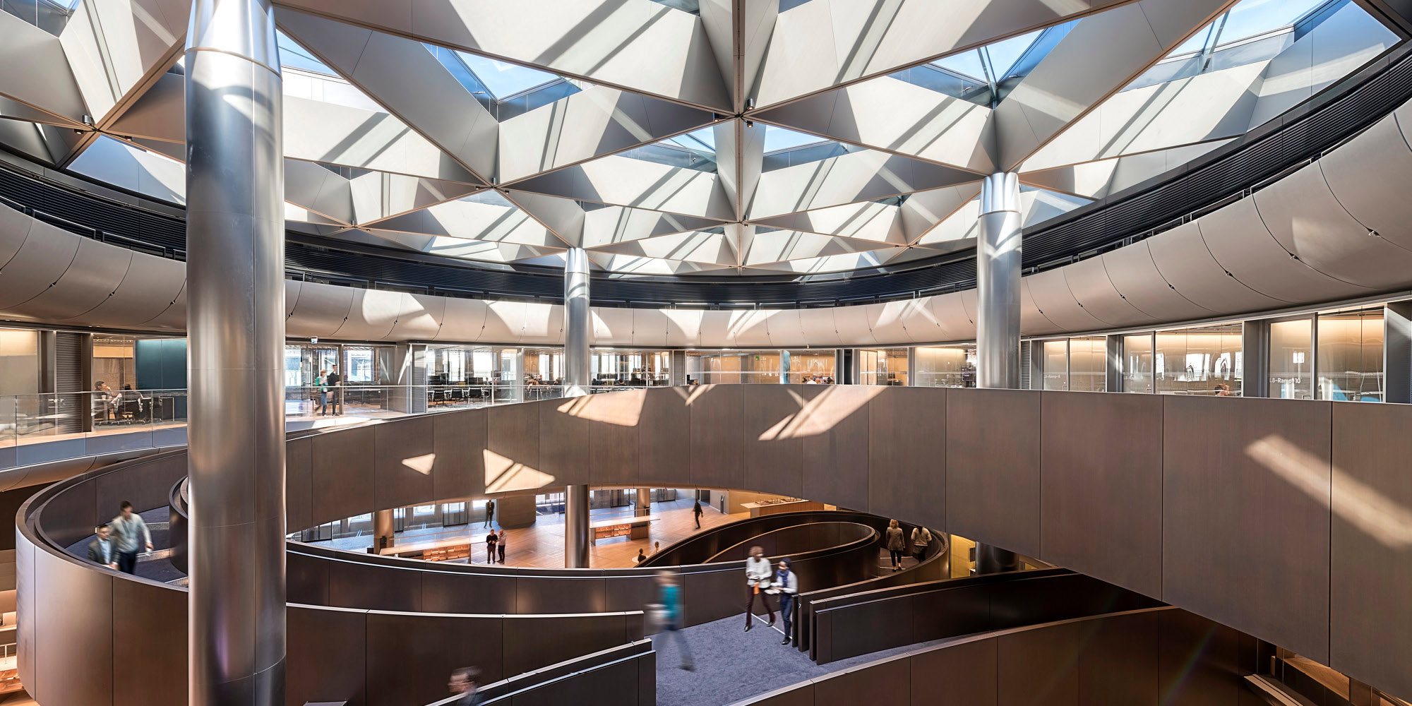
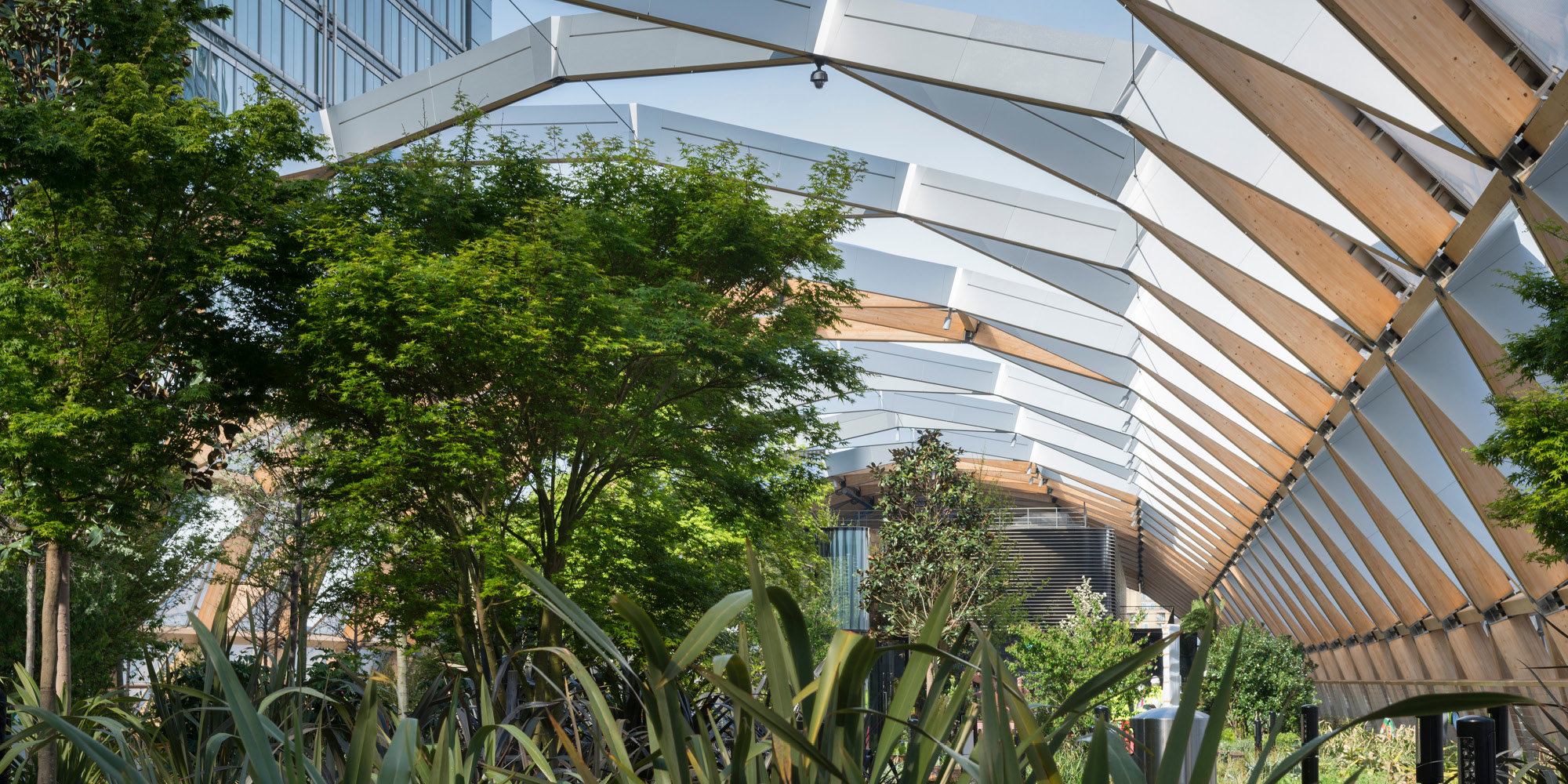
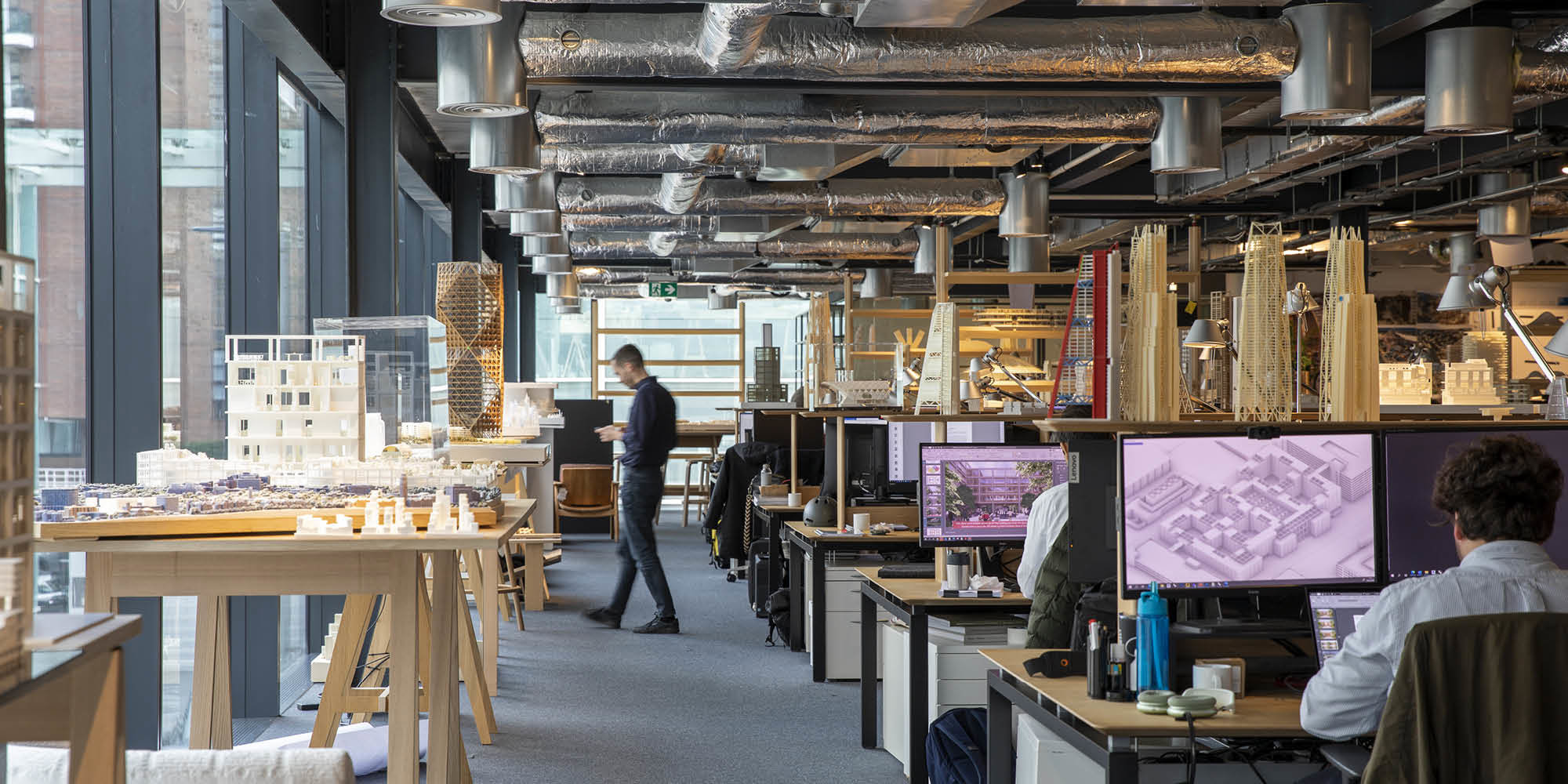
At Foster + Partners, a multi-scale, multidisciplinary approach is taken, in which the practice integrates a combination of tools and technologies to assess the effects of a design on a local microclimate and vice versa. Through the combined efforts of the Specialist Modelling Group and Environmental Engineering team, computational fluid dynamic (CFD) simulations, thermal comfort modelling, and natural ventilation analysis help refine design strategies – from individual streets to entire masterplans. The models allow interventions, such as vegetation, evaporative cooling and shading, to be tested in combination with site-specific temperature, humidity, and natural light conditions. Landscaping strategies are evaluated for broader benefits, including air pollution extraction, biodiversity enhancement, and climate regulation. Recent collaborations, such as the SOLOCLIM project, further expand Foster + Partners’ ability to simulate complex thermal environments and inform evidence-based responses to rising urban heat.
Best practice examples already demonstrate how thoughtful design can mitigate UHI. The South Beach redevelopment in Singapore, and Crossrail Place Roof Garden at Canary Wharf, London, Apple Union Square in San Francisco, and Apple Bağdat Avenue in Istanbul, all showcase how landscape, shading, and microclimate design can create cooler, healthier environments.


In 2015, Foster + Partners completed the Masdar Institute, the first part of a wider city masterplan to be realised in Abu Dhabi in the UAE. Masdar City combines state-of-the-art technologies with the planning principles of traditional Arab settlements to create a desert community that aims to be carbon neutral and zero waste. Knowledge gained through Foster + Partners’ research and design here has already aided the development of Abu Dhabi’s ‘Estidama’ rating system for sustainable building, and post-occupancy environmental studies have demonstrated the efficacy of the masterplan in reducing felt temperatures and prolonging the moderate season in the city.
While designing the institute, Foster + Partners carried out in-depth research to determine the extent to which ‘felt temperature’ can be affected by design. Narrow streets, for example, provide a shaded environment, and vegetation and water features provided additional cooling, while also creating neighbourhood centres.
Since the completion of the first phase of the building, studies have been undertaken to investigate the performance of the masterplan and advanced building envelope solutions used in the design. These included incorporating solar reflecting technologies, optimised shading, high-performance double glazing, high levels of insulation and airtight construction. The studies demonstrated that the design results in a significant difference in felt temperature between downtown Abu Dhabi and the Masdar Institute, even when the air temperature is the same.
Slide 1 of 4

Foster + Partners’ Masdar Institute, Abu Dhabi, UAE (2015). © Nigel Young / Foster + Partners
Slide 2 of 4

The completion of the Masdar Institute allowed the design team and members of the practice’s Specialist Modelling Group to conduct post-occupancy analysis on the environmental performance of the Institute. © Foster + Partners
Slide 3 of 4

Comparing surface and radiant air temperatures in downtown Abu Dhabi. © Foster + Partners

While the negative impacts of heat can be severe, they are also preventable. A wide array of urban cooling solutions can be implemented to ameliorate the adverse effects of high temperatures. These include: prioritising compact and mid-rise buildings with light-coloured exteriors; integrating large parks and green spaces; utilising cool (e.g. reflective coatings) and super-cool materials (e.g. fluorescent or photonic coatings, hydro ceramic facades); ensuring effective insulation; employing passive and mixed-mode cooling and ventilation systems in buildings; and incorporating sustainable technology and innovation.
Closing thoughts
It is the task of designers – alongside policymakers, leaders, medical authorities, and civic authorities – to advocate for a combination of these design solutions at a street, urban, and city-scale. These proposals must be made with an understanding of how UHIs arise and are perpetuated. Advanced technology has enhanced our understanding of the meteorological, morphological, and material factors driving heat island distribution; alongside this, analysis of policy frameworks and decisions regarding urban planning reveal a history of the thermal inequalities observed in many cities today.
Recognising these path dependencies is crucial to formulating strategic design solutions that prioritise environmental as well as social justice. Strategies aimed at controlling UHI effects and promoting ecological preservation further hold the potential to foster economic growth, create employment opportunities, benefit public health, and promote social inclusion. As average global temperatures cross irreversible climate thresholds, policies that transcend historical inequalities and facilitate climate-resilient urban landscapes are no longer optional – they are imperative.
Slide 1 of 6

Lightly coloured exteriors and shaded public plaza at IDC Brookfield Place. © Nigel Young / Foster + Partners
Slide 2 of 6

Old-growth trees enhance the landscape at IDC Brookfield Place. © Nigel Young / Foster + Partners
Slide 3 of 6

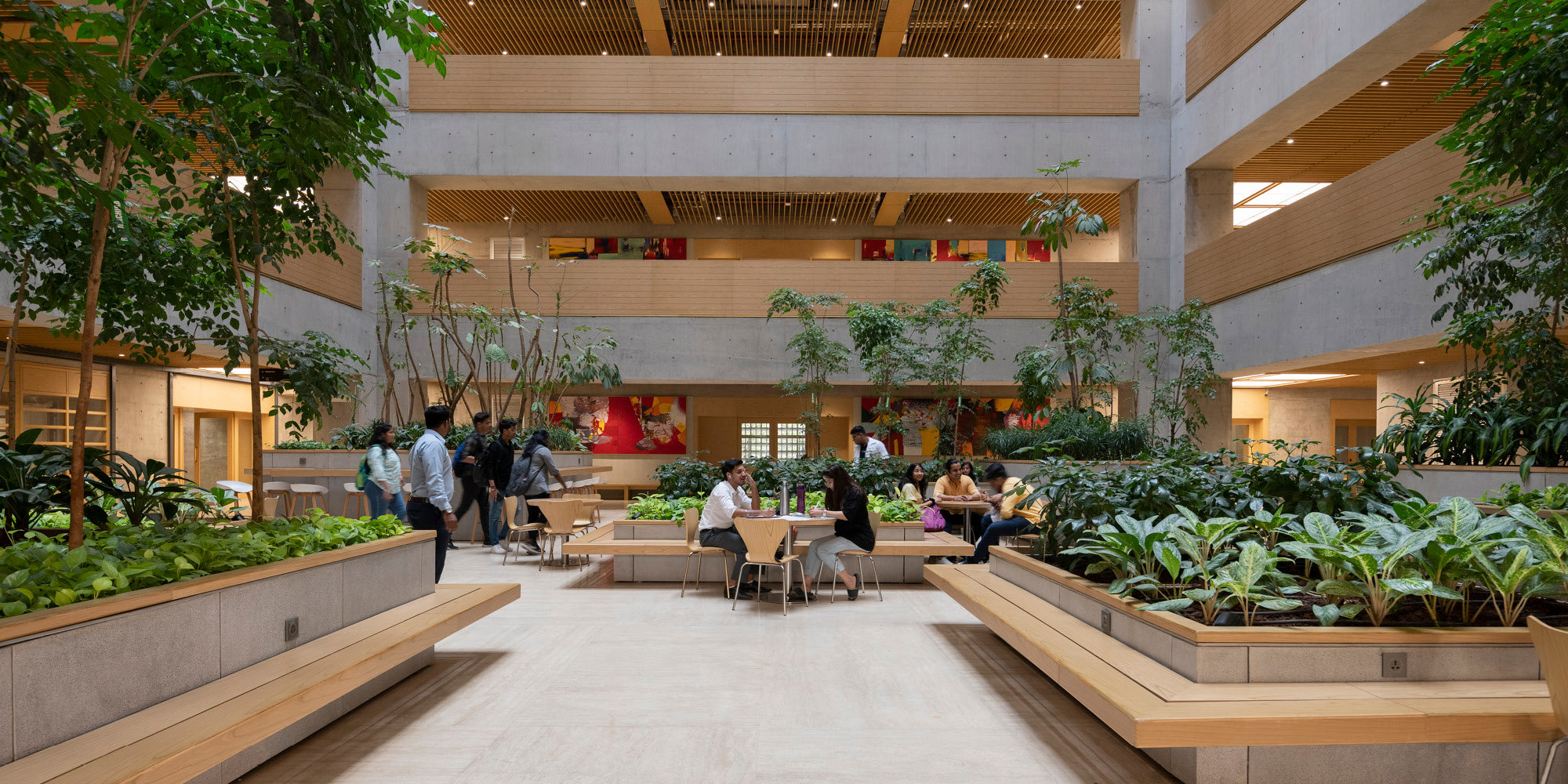
Indoor greenery provides climate comfort, as nature is woven into the interiors at IDC Brookfield Place. © Nigel Young / Foster + Partners

Slide 5 of 6

The design of the Transamerica Pyramid revitalises and restores the historic Redwood Park, using native planting and conservation. © Nigel Young / Foster + Partners

With thanks to: the team STRESSTEST at the German Pavilion at the Venice Biennale, with special mention to Nicola Borgmann; Sam Owens, Specialist Modelling Group; and Ahmed Abdelsalam, Urban Design and Landscape.
Author
Luisa Amann
Author Bio
Luisa Amann is a Graduate Sustainability Designer at Foster + Partners with expertise in evidence-based environmental design, lifecycle analysis, and sustainability leadership. Her work spans across different scales, from buildings, with a focus on dementia-sensitive design, to broader urban environments, addressing issues such as urban heat island effects. Luisa’s research and practice seek to advance sustainability within the built environment, combining data-driven methods with human-centred approaches. She is the youngest author to contribute to the German Pavilion's catalogue STRESSTEST at the Venice Biennale this year.
Editors
Tom Wright and Clare St George